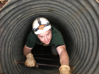
Carroll Cave Large Tunnel below entrance shaft - Sketchfab
Below is the original posting starting this thread:
Has anyone tried using some of the new photogrammetry and 3d modelling software to create 3d models of caves? I have briefly observed some demos of software being used to map mines and road tunnels for surveying purposes, which sounds like a it might work for cave surveying or at least documentation. I have not found much searching the web yet, but one possibility is here:
http://www.agisoft.com/forum/index.php? ... 9#msg17349
Although most of the examples above are inside and outside of a building, further down are great examples of narrow alleyways and archways. What I have found on the web are examples of one side of cave walls, which is not what I am interested in, I am interested in tunnel models.
Use of a fisheye lens is a fairly new development in support of these software applications, which I suspect is key to cave tunnel modelling.
Critical elements to perform this is a good low light camera/fisheye lens and wide angle illumination to get quality well exposed imagery, which I think I have solved at least for not too large of a tunnel.
Also, a rough 3d model may be one thing, but an accurately oriented survey quality model over much of a tunnel distance might be considerably more challenging, as the 3d models will not be well controlled as a narrow linear feature. I suspect that these 3d tunnel models will need to be controlled via conventional survey stations.