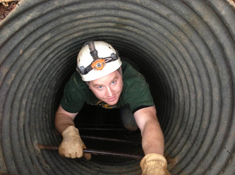
We are releasing a preliminary report of a LIDAR survey performed in Big Bat between "Room 1" and "the Volcanoes". Check out the report at the link below. Be sure to check out the interactive spherical panorama at the bottom of the page. This report covers all the information that was really easy to obtain immediately after uploading the shots to a computer. We are still learning the different ways that LIDAR information can be processed and used.
http://www.kentuckykarstconservancy.com/big-bat-lidar
Feedback appreciated.
~Adam
Cavechat.org
The Official Caving Forum of the National Speleological Society
NSS Home Page |
Flickr NSS Photo Pool | Online Cavers Network
CaveChat Room |
NSS Bookstore | Find Local Caving Club
LIDAR survey in Big Bat Cave
Moderator: Moderators
2 posts
• Page 1 of 1
LIDAR survey in Big Bat Cave
![]() by caver.adam » Feb 24, 2014 10:22 am
by caver.adam » Feb 24, 2014 10:22 am
-
caver.adam - NSS Hall Of Fame Poster
- Posts: 345
- Joined: Feb 8, 2012 12:26 pm
- Primary Grotto Affiliation: Louisville Grotto
Re: LIDAR survey in Big Bat Cave
![]() by caver.adam » Feb 24, 2014 10:26 am
by caver.adam » Feb 24, 2014 10:26 am
For clarity: This cave is in Breckenridge county of Kentucky.
-
caver.adam - NSS Hall Of Fame Poster
- Posts: 345
- Joined: Feb 8, 2012 12:26 pm
- Primary Grotto Affiliation: Louisville Grotto
2 posts
• Page 1 of 1
Return to Survey and Cartography Forum
Who is online
Users browsing this forum: No registered users
POWERED_BY
 Cavechat RSS Feed
 Cavechat is the official caving forum of the National Speleological Society.
The NSS is not responsible for the opinions expressed, and cannot verify the accuracy of information presented.
Cavechat is the official caving forum of the National Speleological Society.
The NSS is not responsible for the opinions expressed, and cannot verify the accuracy of information presented.